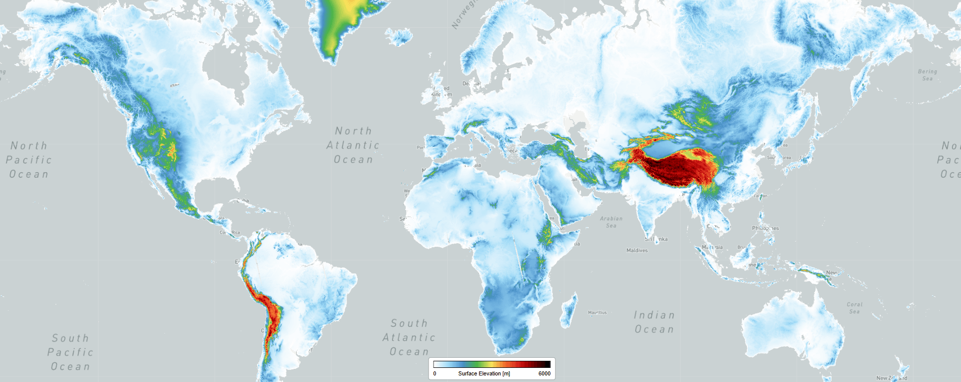
The Multi Band Auxiliary DEM Data product provides essential surface altitude and classification information to support accurate atmospheric retrievals. This dataset incorporates high-resolution data from the 90-meter Copernicus Digital Elevation Model (DEM) to characterize the surface beneath each TROPOMI pixel.
Dataset Specifications
[ To come ]
Examples of filenames (a.k.a. granules):
S5P_OFFL_L2__AUXDEM_20260201T231910_20260202T010040_43039_03_020901_20260203T130525.nc S5P_OFFL_L2__AUXDEM_20251122T083442_20251122T101612_42023_03_020901_20251126T144622.ncnc |
|
Elements in the filename separated by underscores after the initial "S5P": |
Dataset Specifications V2 | |
| Temporal Coverage |
SinceFrom 22-Nov-2022 |
| Spatial Coverage |
~2600 km swath Full daily surface coverage of radiance and reflectance measurements for latitudes > 7° and < -7°, and better than 95 % coverage for latitudes in the interval [-7°, 7°] |
| Spatial Resolution at Nadir | See table "TROPOMI spectral bands" on the L1B-radiances product page |
| Processor Version | 02.xx.xx, with x=any digit between 0 and 9, starting with version 02.09.01 |
How to Access the Data
The data related to this product are accessible via the Copernicus Data Space Ecosystem (CDSE) for expert users only.
Documentation and Related Datasets
Technical documentation on the S5P/TROPOMI Level-1B and Level-2 products can be found on the the SentiWiki S5P Products page.
Dataset Citation Guidelines
Users, who, in the ir research, use ESA Earth Observation data that have been assigned a DOI, are asked to use it when citing the data source in their publications:
Dataset Citation Guidelines V2 |
| Multi Band Auxiliary DEM DataCopernicus Sentinel-5P (processed by ESA), 2022, TROPOMI Level 2 products. Version 02. European Space Agency. https://doi.org/10.57780/esa-82b1b5c |