The TROPOMI Cloud Properties product is a vital component of the Level-2 processing suite for S5P/TROPOMI data. It operationally retrieves key quantities essential for the cloud correction of trace gas retrievals, including cloud fraction, cloud optical thickness (albedo), and cloud-top pressure (height). Beyond enhancing trace gas accuracy, this product extends the long-term satellite data record of cloud information derived from oxygen A-band measurements, a legacy initiated with the GOME instrument.
Key Features and Applications
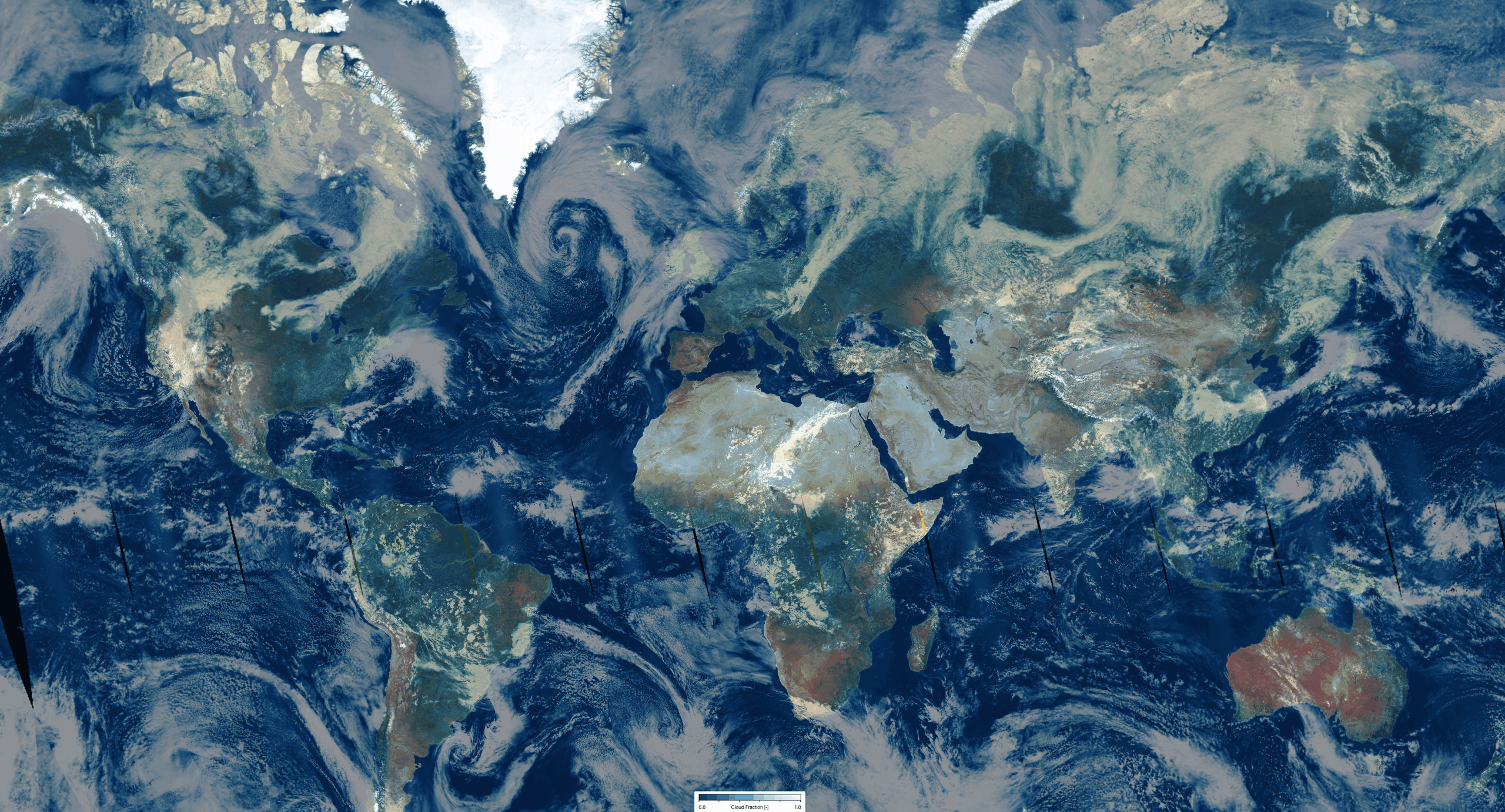
Clouds play a crucial role in the Earth’s climate system by impacting radiation processes and influencing the global hydrological cycle. Because cloud interaction with sunlight involves spatial complexity and significant multiple scattering in radiation transport, these factors present inherent challenges for satellite remote sensing. Consequently, the accurate retrieval of TROPOMI trace gas products is highly dependent on the precision of these cloud parameter datasets.
Dataset Specifications
Examples of filenames (a.k.a. granules):
S5P_OFFL_L2__CLOUD__20260201T231910_20260202T010040_43039_03_020800_20260203T150006.nc S5P_NRTI_L2__CLOUD__20260201T234313_20260201T234813_43039_03_020800_20260202T004947.nc S5P_RPRO_L2__CLOUD__20220701T230527_20220702T004657_24439_03_020401_20230119T103625.nc |
|
Elements in the filename separated by underscores after the initial "S5P": |
Dataset Specifications V2 | |
| Temporal Coverage |
Since 12-Jul-2020 Reprocessed (RPRO) dataset: from 30-Apr-2018 to 03-Aug-2022 |
| Spatial Coverage |
~2600 km swath Full daily surface coverage of radiance and reflectance measurements for latitudes > 7° and < -7°, and better than 95 % coverage for latitudes in the interval [-7°, 7°] |
| Spatial Resolution at Nadir |
3.5 x 7.0 km (across x along track), at beginning of mission 3.5 x 5.5 km (across x along track), since 6 August 2019 |
| Processor Version | 02.xx.xx, with x=any digit between 0 and 9 |
Dataset Specifications V1 | |
| Temporal Coverage |
From 30-Apr-2018 to 12-Jul-2020 |
| Spatial Coverage |
~2600 km swath Full daily surface coverage of radiance and reflectance measurements for latitudes > 7° and < -7°, and better than 95 % coverage for latitudes in the interval [-7°, 7°] |
| Spatial Resolution at Nadir |
3.5 x 7.0 km (across x along track), at beginning of mission 3.5 x 5.5 km (across x along track), since 6 August 2019 |
| Processor Version | 01.xx.xx, with x=any digit between 0 and 9 |
How to Access the Data
The data related to this product and to the other S5P/TROPOMI products are accessible via the Copernicus Data Space Ecosystem (CDSE).
Documentation and Related Datasets
Technical documentation on the S5P/TROPOMI Level-1B and Level-2 products can be found on the the SentiWiki S5P Products page.
Dataset Citation Guidelines
Users, who, in their research, use ESA Earth Observation data that have been assigned a DOI, are asked to use it when citing the data source in their publications:
Dataset Citation Guidelines V2 |
| Copernicus Sentinel-5P (processed by ESA), 2020, TROPOMI Level 2 Cloud products. Version 02. European Space Agency. https://doi.org/10.5270/S5P-w1qgt16 |
Dataset Citation Guidelines V1 |
| Copernicus Sentinel-5P (processed by ESA), 2018, TROPOMI Level 2 Cloud products. Version 01. European Space Agency. https://doi.org/10.5270/S5P-ry8kaa5 |