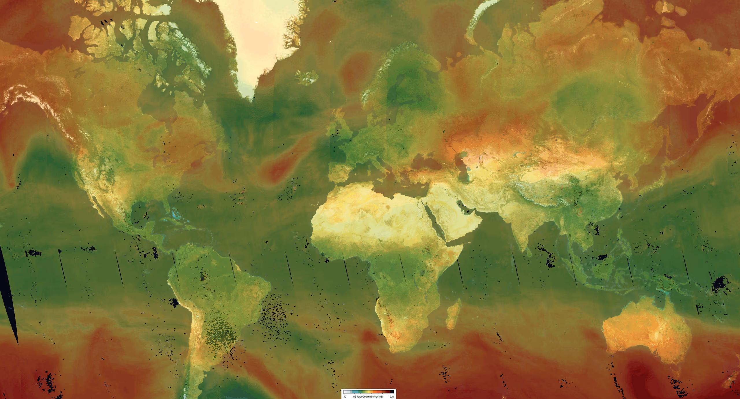
Ozone (O3) is of crucial importance to the equilibrium of the Earth's atmosphere. In the stratosphere, the ozone layer shields the biosphere from dangerous solar ultraviolet radiation. In the troposphere, it acts as an efficient cleansing agent, though at high concentrations, it becomes harmful to human, animal, and plant health. Furthermore, ozone is a significant greenhouse gas contributing to ongoing climate change. The TROPOMI O3 total column product provides essential data for monitoring these atmospheric processes.
Key Features and Applications
The product delivers comprehensive information in NetCDF-CF format, including total ozone columns, ozone temperature, and diagnostic error information such as averaging kernels. By providing precise vertical column data, the product supports a wide array of research, from long-term climate monitoring to the assessment of regional air quality and health impacts.
Dataset Specifications
Examples of filenames (a.k.a. granules):
S5P_OFFL_L2__O3_____20260201T231910_20260202T010040_43039_03_020800_20260203T160126.nc S5P_NRTI_L2__O3_____20260201T234313_20260201T234813_43039_03_020800_20260202T005317.nc S5P_RPRO_L2__O3_____20220701T230527_20220702T004657_24439_03_020401_20230122T193308.nc |
|
Elements in the filename separated by underscores after the initial "S5P": |
Dataset Specifications V2 | |
| Temporal Coverage |
Since 12-Jul-2020 Reprocessed (RPRO) dataset: from 30-Apr-2018 to 03-Aug-2022 |
| Spatial Coverage |
~2600 km swath Full daily surface coverage of radiance and reflectance measurements for latitudes > 7° and < -7°, and better than 95 % coverage for latitudes in the interval [-7°, 7°] |
| Spatial Resolution at Nadir |
3.5 x 7.0 km (across x along track), at beginning of mission 3.5 x 5.5 km (across x along track), since 6 August 2019 |
| Processor Version | 02.xx.xx, with x=any digit between 0 and 9 |
Dataset Specifications V1 | |
| Temporal Coverage |
From 30-Apr-2018 to 12-Jul-2020 |
| Spatial Coverage |
~2600 km swath Full daily surface coverage of radiance and reflectance measurements for latitudes > 7° and < -7°, and better than 95 % coverage for latitudes in the interval [-7°, 7°] |
| Spatial Resolution at Nadir |
3.5 x 7.0 km (across x along track), at beginning of mission 3.5 x 5.5 km (across x along track), since 6 August 2019 |
| Processor Version | 01.xx.xx, with x=any digit between 0 and 9 |
How to Access the Data
The data related to this product and to the other S5P/TROPOMI products are accessible via the Copernicus Data Space Ecosystem (CDSE).
Documentation and Related Datasets
Technical documentation on the S5P/TROPOMI Level-1B and Level-2 products can be found on the the SentiWiki S5P Products page.
Dataset Citation Guidelines
Users, who, in their research, use ESA Earth Observation data that have been assigned a DOI, are asked to use it when citing the data source in their publications:
Dataset Citation Guidelines V2 |
| Copernicus Sentinel-5P (processed by ESA), 2020, TROPOMI Level 2 Ozone Total Column products. Version 02. European Space Agency. https://doi.org/10.5270/S5P-ft13p57 |
Dataset Citation Guidelines V1 |
| Copernicus Sentinel-5P (processed by ESA), 2018, TROPOMI Level 2 Ozone Total Column products. Version 01. European Space Agency. https://doi.org/10.5270/S5P-fqouvyz |